The mystery of the disappearing Aral Sea
By Fawzia Mai Tung
January/February 2023
“One of the planet’s worst environmental disasters,” according to former UN Secretary General Ban Ki-Moon (2007-16), is the shrinking and eventual drying up of Central Asia’s Aral Sea. Islamic Horizons traveled there to investigate its recovery by Kazakhstan.
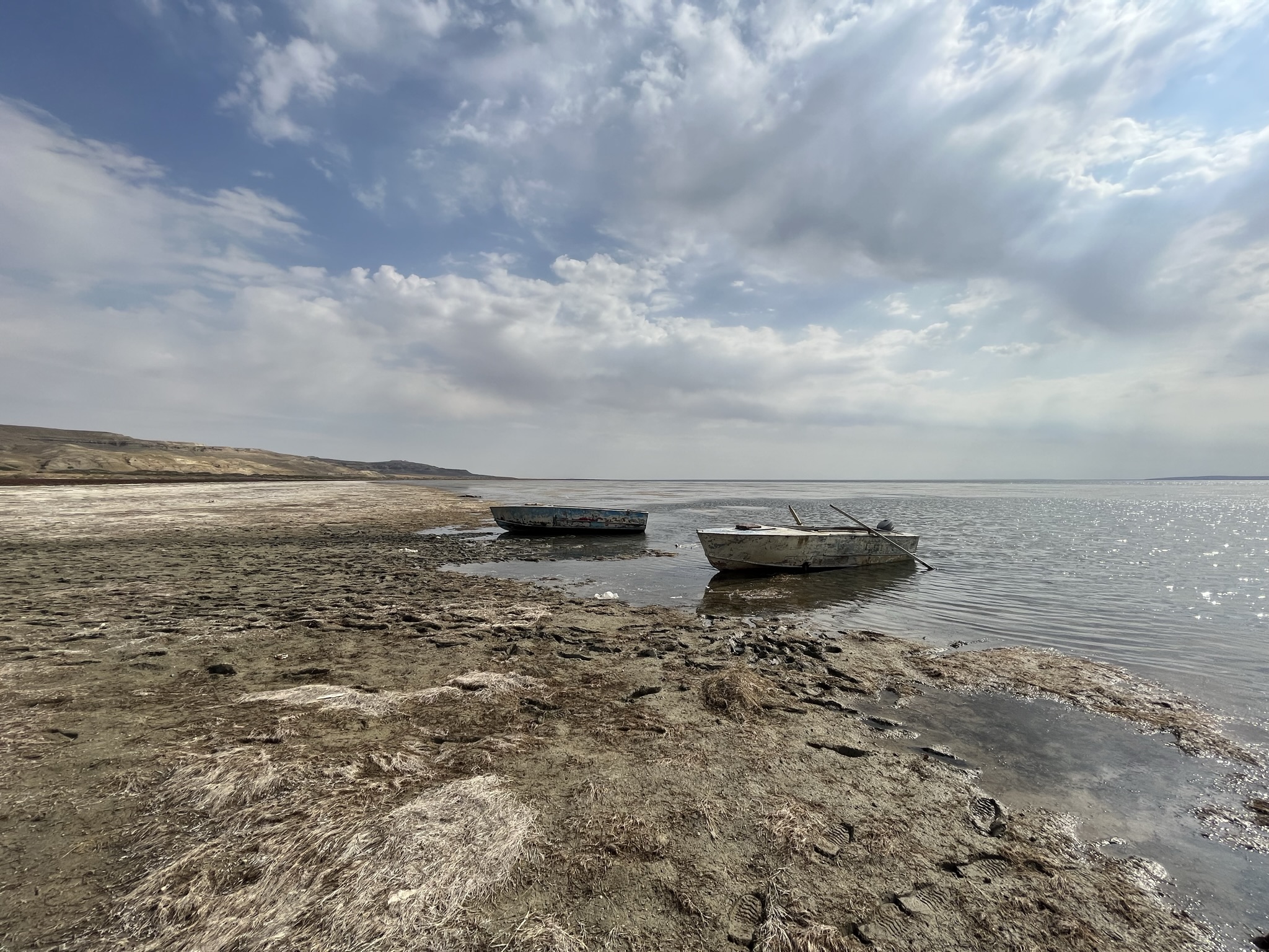
“I want to take pictures of those rusting fishing boats standing in the desert,” I told my guide, Serik Dyusenbaev. “You won’t find them anymore,” he replies matter-of-factly. What? I feel disappointment seeping in. Lured by those iconic images depicted in Pink Floyd’s 2014 “Louder than Words” music video, I’d traveled halfway around the world to see them — and they aren’t there anymore?
“What happened to them?” I ask, hanging on to some shred of hope. “[U]nemployed people cut them up and sold them as scrap metal. But I can show you what’s left of them.” I sat back, deflated. Little did I know that I was about to stumble upon an even greater mystery.
During the 1960s, Moscow diverted the sea’s Amu Darya and the Syr Darya tributaries to irrigate immense cotton fields. Over the next decades, the cotton industry bloomed in Uzbekistan; however, the sea dried up to leave just a few puddles, the two larger ones being a long one in the South or West Aral Sea in Uzbekistan, and the North Aral Sea, a smaller one created by a sand dike on the northern edge lying in Kazakhstan.
Reviving the Aral Sea
In 1991, newly independent Kazakhstan acquired US$87 million from the World Bank and built a permanent dam across the narrow entrance to the North Aral Sea. The 13-km long Dike Kokaral was completed in 2005 and yielded results much faster than expected. Within a year — instead of ten years — this tiny puddle eventually grew back to about 75% of its original size. Slowly, the water’s salinity dropped from over 90-100 g/L to 10g/L (this slight salinity was why the Aral was always called a sea rather than a lake), and is now at a mere 2 g/L. In effect, it’s now a freshwater lake.
The flounders, brought in by the river, were the first to return. But the locals, unfamiliar with this fish, didn’t eat it. Two Danish tourists, one of whom was a fisherman, visited in 1991. Realizing that the fishermen didn’t understand that this bottom feeder couldn’t be caught with the local floating nets being used, they went home, secured a $1.9 million grant and returned in 1996 with truckloads of supplies from nets to motorboat engines. Organizing and showing the region’s fishermen how to fish for flounder proved to them that the sea was still alive.
The Danish Society for a Living Sea used a grant from 2004-08, just as the sea was returning, to help the fishing industry develop into a business exporting fish to Russia, Ukraine, Georgia and other Baltic countries. As of now, the North Aral Sea annually produces 8,000 tons of flounder, bream, carp, walleye, pike and catfish, most of which were sold to Russia and Ukraine before the war.
Industrial fishing season is wintertime. By January, the surface becomes thick enough to hold the sledges that, drawn by either a camel or a horse, stand in the outdoor exhibit area of the Aral Fishermen Museum. Holes are cut in the ice, and nets are used to catch fish below the ice and snow. Small boats are used for spring/summer fishing for personal consumption.
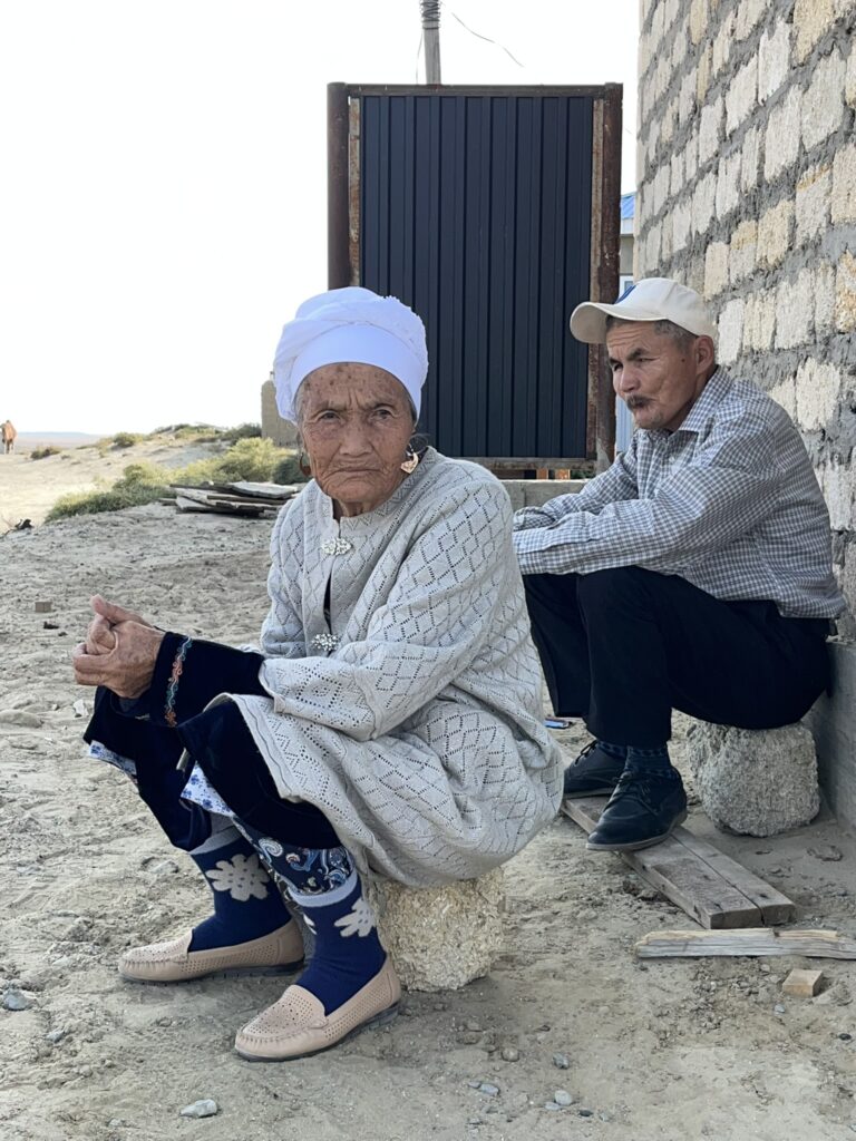
The effects on the 14 villages surrounding the North Aral Sea are obvious as we drive through two of them. Buildings are going up, for “sons getting married and moving out of their parents’ home.” Descendants of those who moved to cities have slowly trickled back. In one village, the original 90 households shrank to just four during the years of the sea’s disappearance. Now it contains 40 households.
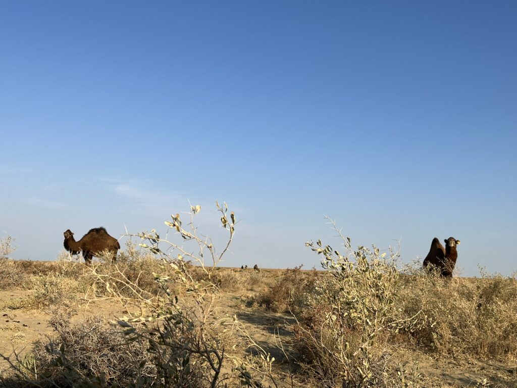
Electricity has been installed, and televisions are available in all homes. Russian jeeps are in the streets. Today, every home owns a motorcycle, whereas in the past every village used to own just one or two motorbikes, which are quite vital for rounding up herds of camels, horses or sheep. Although fishing is the main industry, all households still raise animals.
In the late afternoons, everywhere in Kazakhstan the villagers’ flocks return by themselves to get milked, each animal knowing to which house to go. In the day, they graze on public land. As I was marveling at this great fraternity among ranchers, my guide sighed that it’s soon coming to an end, for land is now being sold to farmers, and disputes over grazing rights have started.
The health problems caused by inhaling salt-and-pesticide-laden winds have vanished, along with the changes in the climate. Summer is less hot; winds less strong and spring rains have returned. The salt industry continues to thrive, mainly through Araltuz, which has been mining the salt lakes since 1925.
Despite all this success, the Aral Sea hasn’t returned to its original size. In fact, water needs to be released from its sluices to prevent overspill. For some years already, two options have been proposed: (1) raise the Kokaral Dam by 20-22 feet or (2) build a second dam across a narrow channel in the northeastern part of the North Aral Sea, thus creating a two-level sea and causing the northernmost part to reach its original pre-1960 borders, at the threshold of the town of Aralsk.
“Are the people giving up on the government moving forward with either plan?” I ask. “No,” replies my all-knowing guide, a local resident. “Once, they didn’t believe any human effort would ever bring the sea back. Yet it has. So, they now believe that as long as they wait patiently, one day, their sons will again dive into the canal that reaches behind the museum over there.”
Indeed, Director Madi Zhasekenov of the Aralsk Regional Museum and Fishermen Museum confirms this. Opening the closed museum on this Sunday afternoon, behind it he showed me an immense rectangular pit stretching away into the distance. “This was a canal,” he explains, “connecting the sea to the town. The boats could come all the way to this pier to unload their fish. When I was young, I used to dive here with my friends and swim.”

The “Aral Atlantis”
A few minutes’ walk away, in the Regional History Museum, I found what I was looking for: artifacts — ceramic tiles, grinding stones, remnants of a brick plant, copper coins, jewelry and domestic utensils — from the “Aral Atlantis.” So it was true! I had refused to believe it when Serik mentioned how archaeologists confirmed the existence of three cities, or settlements, on the dried seabed, at 60 feet or more above sea level. He claimed the pottery shards dated to the 14th century. “No,” I had exclaimed, “that’s impossible! There was a sea there 700 years ago.” Well, apparently not.
Archaeologists, who had been digging around the Aral Sea’s northern shore since the 19th century, had ascertained the existence of a thriving sedentary civilization dating back to antiquity. This in itself was astounding, since historians had assumed this entire steppe area had only been populated by nomadic tribes. Then in 2000, some villagers from Karateren went hunting in the now dried up area surrounding what used to be the island of Barsa-Kelmes (meaning “I shall not return”), a nature reserve. There, they were astounded to see, delineated in white salt, the remains of a city! This finding was reported to the local government, which contacted the archaeological staff at the Kyzylorda University and other institutions.
This almost 15-acre city, soon named “Aral-Asar” (The Aral Trail) and likened by the initial researchers to Kazakhstan’s Atlantis, had a central residential zone, an industrial zone on the side and a necropolis consisting of two mausoleums later named Kerderi I and Kerderi II, which had foundations of stone slabs and walls of baked bricks over a meter thick. The facades were decorated with glazed tiles, and the entrance bore Arabic inscriptions in golden letters, clearly showing that Muslims lived there.
However certain artifacts, such as gold earrings in the form of bars, biting their own tail, indicate a strong pagan influence. Agricultural instruments and millstones, along with rice irrigation patterns, showed that the inhabitants grew and milled rice into flour, which was probably exported along the Silk Road. At least two more similar settlements were subsequently found.
The Mystery
But what caused the sea to cover up these cities after the 14th century? An archaeological report (Climate Management Centers — the CLIMAN Project) published in 2002 suggests climate change and the disappearance of irrigation following the Mongol invasion. They mentioned the 1960-90 irrigation policies as an example of irrigation practices affecting the sea level.
If this theory holds, never mind the fact that the Mongol invasion happened in the 12th century, shouldn’t the sea have existed before settlements and farming? Herodotus (5th century bce) writes that the Caspian and the Aral seas used to be a single body of water. However, the 6th century ce Byzantine historian Menander Protector describes the area as “a system of lakes” with a city on its banks.
The plot thickens: A big sea in antiquity, several small lakes in the medieval era, flooded into a sea again sometime in the 15th or 16th century, only to dry up again in the late 20th century. Is it simply, really due to climate changes and agricultural practices? Quite by chance, in my travels I stumbled upon a rumor: Over-irrigation was only part of the story. Such large, mighty rivers as the Syr Darya and the Amu Darya could easily withstand diversion into cotton fields. No, said the rumor, the real reason lies elsewhere.
Between 1949-91, Moscow exploded 456 nuclear bombs in Kazakhstan, mostly in the northeast and various central areas, treating the Central Asia steppes as uninhabited. The rumor mill claims that these explosions caused a shift in the tectonic plates that, in turn, resulted in the Aral Sea leaking its waters away, possibly partially into the Caspian Sea, which rose by 2.5 cm during those years.
There is definitely some geothermal activity in the area. In 1986, a geological team drilling on the former seabed had to abandon whatever they came for, because a hot spring gushed out. The area was built up to allow the 60-degree water to flow into a basin before returning into the ground.
No one knows why the Aral Sea disappears every so many centuries. And thus this phenomenon remains a mystery.
Dr. Fawzia Mai Tung is executive director of Tung Education Resources; leader of Equity and Inclusion Team, the Society of Children’s Books Writers and Illustrators Arizona Chapter (SCBWI-AZ); and secretary of the executive board and translation team consultant, Dimash USA Fan Club.
Tell us what you thought by joining our Facebook community. You can also send comments and story pitches to horizons@isna.net. Islamic Horizons does not publish unsolicited material.